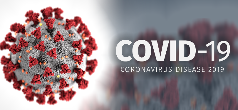
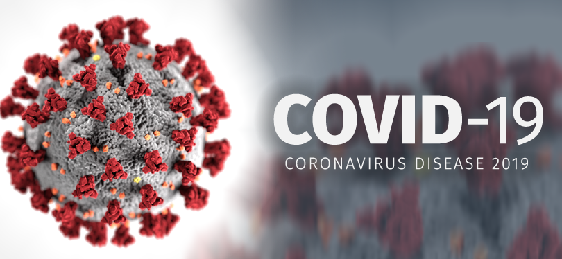
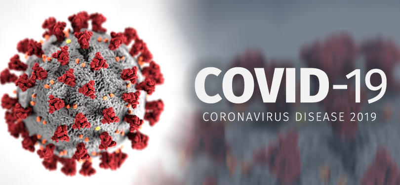
Due to the Covid-19 virus (Coronavirus), on March 16, 2020 Wilson County issued a State of Emergency. We issued a State of Emergency for the Town of Sims on March 16, 2020 as well stating we will be following Wilson County’s State of Emergency plan, per our usual procedure. This State of Emergency declaration allows the Town to apply for federal funding, etc. if needed. The documents are posted on the front door at Town Hall.
For the health and safety of our residents and our staff, we have closed the Town Hall lobby to the public. We will continue to serve you during office hours at our drive through window located at the rear of the building. You may continue to drop of payments or other documents using our drop boxes located at the front and rear of Town Hall.
We will be updating our Facebook page, as needed, with any changes/updates that impact our town.
Please call Town Hall at 237-4226 if you have any questions and to inquire about the impact of Covid-19 on our regularly scheduled meetings.
_________________
In an effort to provide our residents with reliable, up-to-date information, here is a list of resources to go to for information regarding Covid-19:
Websites:
–www.coronavirus.gov :US Government Covid-19 information
–www.cdc.gov/coronavirus/2019-ncov/index.html :Center for Disease Control (CDC) Covid-19 information
–www.ncdhhs.gov/coronavirus :NC Dept of Health and Human Services Covid-19 information
–www.wilson-co.com :Wilson County government Covid-19 information
–www.townofsimsnc.com :Town of Sims webpage (documents and handouts available)
Phone:
-800-232-4636 :CDC Covid-19 Information
-211: NC Assistance regarding information food, shelter, energy assistance, housing, parenting resources, health care, employment, etc. as it relates to Covid-19
Handouts:
NCDHHS Covid-19 information for home and business owners
White House/CDC information to slow the spread of Covid-19